Rouge Park fall walks in 2026: choose your trail before choosing your transit route
Woodland, the northern trails and the southern valley offer different outings. Construction makes the starting point especially important this fall.
At a glance
Key details
The details that matter most, in one place.
- Seasonal window
- Parks Canada suggests late September to mid-October; actual colour varies.
- Closed starting points
- Zoo Road Day Use Area; Rouge Beach and Marsh.
- Easy walking option
- Woodland Trail: 3.5 km, about 1.5 hours in the official trail table.
- Transit planning
- Choose the trailhead first; Rouge Hill GO is not the start of every Rouge hike.
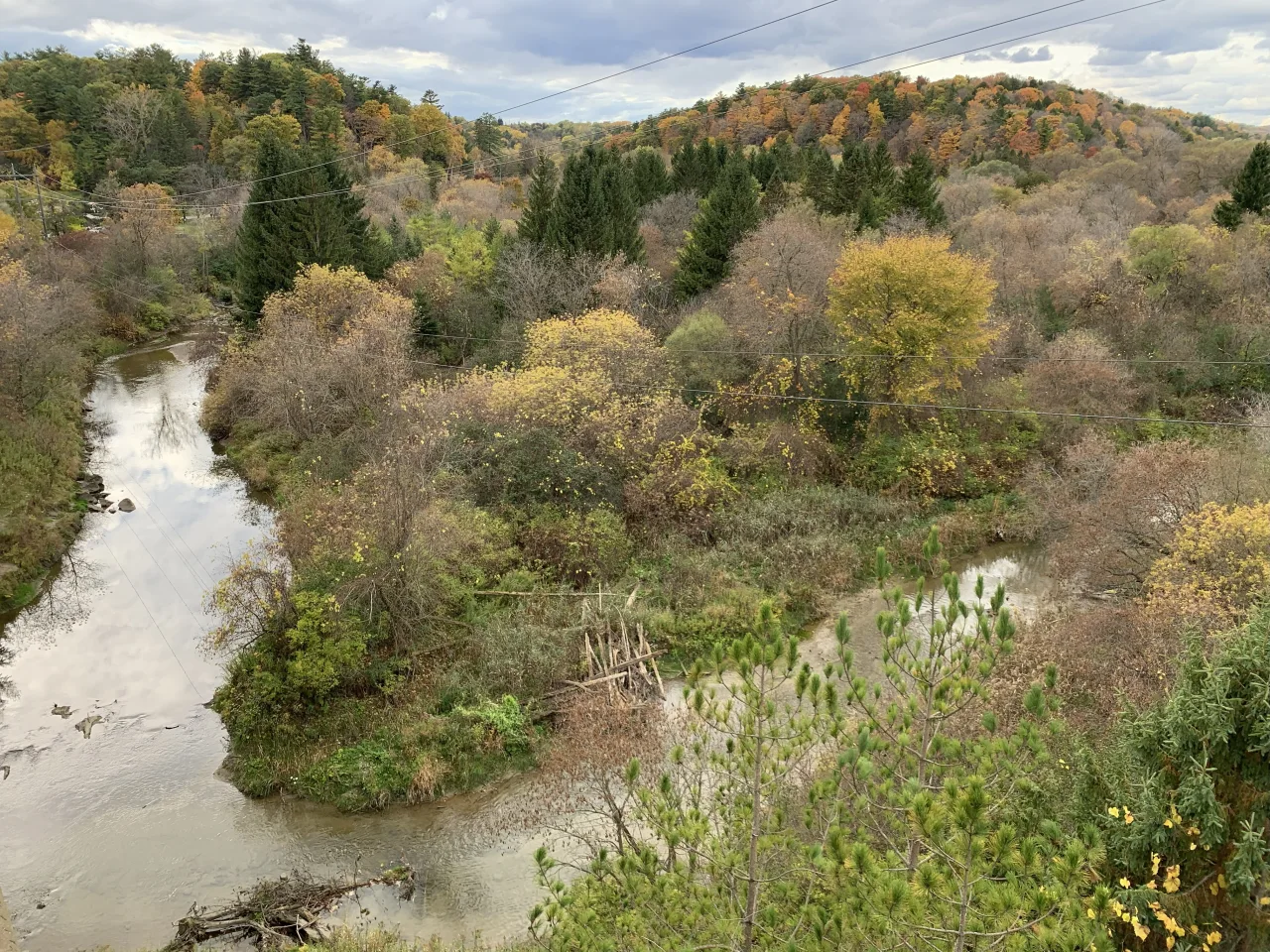
For a Rouge National Urban Park fall walk, start by choosing an open entrance. Parks Canada’s autumn guide identifies Zoo Road and Rouge Beach and Marsh as closed. That changes two familiar arrival plans: driving to Zoo Road and walking into the marsh from the waterfront.
The useful choice is between a relatively easy Woodland outing, a northern walk through agricultural landscapes, and a hillier southern-valley hike. Each has different transport and facilities. Choose a walk that would still be enjoyable if the leaves are greener than expected.
In this article
- Check the entrance, not just the park name
- Pick the walk that matches the group
- Woodland is straightforward, but check the facilities
- Try the northern trails for a different autumn landscape
- A Rouge Hill GO connection for the southern entrance
- Build the day around one walk and a clear return
- Frequently asked questions
Check the entrance, not just the park name
Zoo Road Day Use Area is closed until 2027 for construction, with no parking there. Access to Vista Trail from that northern trailhead is also closed. Twyn Rivers remains an alternative starting area for the southern trail network. Parks Canada warns that vehicle access on Twyn Rivers Drive is closed between Glen Eagles Vista and Twyn Rivers Day Use Area; drivers can reach the day-use area from the Altona Road side in Pickering. Check your approach before leaving.
Rouge Beach and Marsh is another closed destination. Do not build a fall afternoon around that arrival point because an older guide describes an easy waterfront stroll. The current seasonal page links onward to the park’s bulletins and maps.
Save the actual entrance address with your route. If friends travel separately, send the same pin and agree where to meet before entering the trail. “Rouge Park” is too broad a meeting place, particularly when one person is driving and another is using the train.
Pick the walk that matches the group
| Walk | Official length | Planning implication |
|---|---|---|
| Woodland | 3.5 km; easy | A manageable starting option for a slower group. |
| Glen Eagles Vista | 600 m; easy | A short viewpoint visit rather than a full hiking afternoon. |
| Harvest | 5.1 km one way; easy | Plan the return before treating this as a short walk. |
| Mast | Moderate to difficult | Choose it for a group comfortable with a hillier route. |
The official trail table is a comparison tool, not a promise that every section will suit every walker. Its difficulty ratings describe walking demands; an “easy” label alone does not establish wheelchair or stroller access.
Compare the shortest comfortable distance in your group with the complete outing. The approach from a bus stop, time spent exploring a viewpoint and the walk back to the car all count. For a first visit, one well-chosen trail is more practical than combining several unfamiliar areas.
Woodland is straightforward, but check the facilities
Woodland Day Use Area is at 19 Reesor Road. Parks Canada lists limited free parking, no washrooms and no direct public-transit connection. That combination makes it easier to organize with a car than as an improvised train trip.
Use the official estimate of about 90 minutes on the trail as a starting point, then add your own stop time. Someone photographing plants and someone walking continuously will not finish together simply because they chose the same distance.
Take care of the washroom stop before arrival and bring what you need for the walk. If those arrangements do not work for a child or another member of the group, choose an entrance with suitable facilities rather than hoping to find them once you arrive.
Try the northern trails for a different autumn landscape
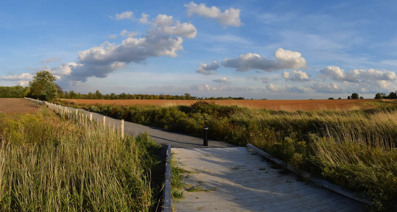
Harvest, Central and Northeast are the northern alternatives highlighted by Parks Canada for visitors looking beyond the busiest southern starting points. The landscape includes farm fields and wetlands as well as trees; this is a different outing from seeking a continuous forest canopy.
Distance is the catch. The trail table lists Central at 10.5 km one way and Northeast at 10.7 km one way. Walking the whole length and retracing it would therefore be roughly 21 km, before any approach. “Easy” does not mean “short.”
For a modest outing, choose a starting point and a turnaround time instead of assuming you must reach the far end. Download the map, identify where your return begins and keep the group together at junctions. If you intend to finish elsewhere, arrange that second transport connection before setting off.
A Rouge Hill GO connection for the southern entrance
Parks Canada’s Glen Rouge directions describe taking Lakeshore East to Rouge Hill GO, transferring to a westbound 85 bus and leaving at Sheppard Avenue East and Kingston Road. The walk onward to Glen Rouge, at 7450 Kingston Road, is about one kilometre.
Check the TTC’s westbound 85 schedule for your selected day’s departures and alerts; do not treat the connection as a guaranteed wait time. The walk to the entrance is extra distance before you begin hiking.
Plan the journey home at the same time. A one-way trail plan is inconvenient if your return bus or car is at the original entrance. Save the return stop and allow enough daylight to reach it comfortably. The train station’s name does not mean that the northern trails are within an easy walk of its platforms.
Build the day around one walk and a clear return
Parks Canada warns that food and drinking water are unavailable on the trails and at trailheads. Pack both. Tree-treatment work is scheduled through October 14 in parts of the park; no trail closures are anticipated, but follow posted signs and crew directions. Give someone outside the group your route and expected return, and keep a charged phone available for navigation.
For drivers, the 9 p.m. parking closure is a deadline for removing the car, not a suggested hiking finish. Aim to complete the walk well before darkness. If rain or the group’s pace changes the plan, turn around earlier rather than making the original distance the goal.
For a different autumn outing, compare our Toronto salmon-run guide. If the forecast makes an outdoor day unappealing, the free museum guide offers indoor options, with booking requirements to check separately.
Frequently asked questions
Are fall colours at their peak in Rouge Park?
This guide does not establish current colour conditions. The seasonal window is a planning guide, not a forecast for a particular trail or weekend.
Can I walk into Rouge Beach from Rouge Hill GO this fall?
The beach and marsh are closed. Choose a currently open park entrance and check its approach before travelling.
Which Rouge walk is easier to plan with a car?
Woodland has a named entrance and a relatively short easy-rated trail, but parking is limited and the site has no washrooms.
Does the listed distance include the return?
Not when a trail is labelled one way. Double that distance for an out-and-back walk, then add the approach from your car or transit stop.
Sources & useful links
Details checked on September 27, 2026. Based on Parks Canada and TTC information. This is a planning guide, not an on-site conditions or peak-colour report. Recheck closures, facilities and transit before leaving.
- Parks Canada: fall colours at Rouge National Urban Park
- Parks Canada: Rouge trail table
- Parks Canada: Woodland Day Use Area
- Parks Canada: Glen Rouge Day Use Area
- TTC: westbound 85 Sheppard East stops
- Parks Canada: Twyn Rivers Drive vehicle-access bulletin
- Parks Canada: September–October 2026 hemlock treatment bulletin